|
Lee Springs of Ash Meadows. The Lee Brothers Ranch was the third oldest ranch to be established in Ash Meadows.[1] History often counts the Lee's as the second settlers, and Charles King, of the Wheeler Survey Team as the first settler, but when King filed for his Water Rights, the map he used was from the 1871 Wheeler Survey, a map that showed a house already in the vicinity of Winters' home.[2]
|
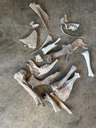 |
Cow bones were everywhere, unlike the donkey or horse bones more commonly found the desert over.
|
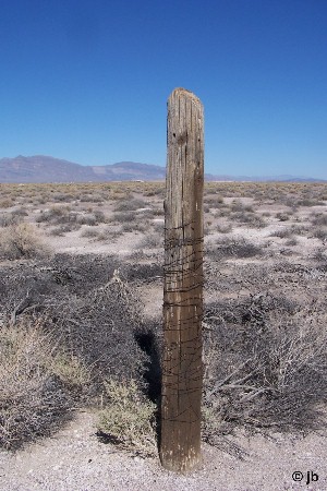 |
One lone fence post still stands, a testament ignored, till one day we moved some tumbleweeds and discover a large water troth.
|
| Using my Walking Stick as a rough measure, we can place the Water Troth at about 16' long. |
|
|
Many old roads, some but a barely visible line in the desert as seen from the satellite, seem to converge on this property. Some can be explained by Clay Camp, but others can not. Likely Lee's Ranch site. While a curved drive way connects to the main road, the road atop the bluff can be traced from the old spring, all the way across Amargosa almost to Big Dune. Two other roads head south west. The harder you look the more you will find converging on both the upper and lower spring, as well as what appears to be an old reservoir, likely abandoned after the construction of Crystal Reservoir.
|
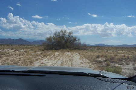 |
The road that is today named Hartzell, is truly a much older road. One old tree growing in the middle of it tells us that it has gone unused for a long, long, time.
|
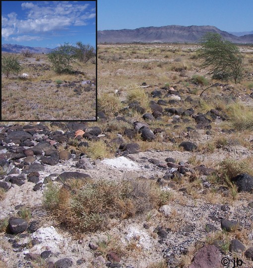 |
Heavy Lava Rock is laid continuing it into Carson Slough.
Could that have been to teem the rock into Crystal Springs?
|
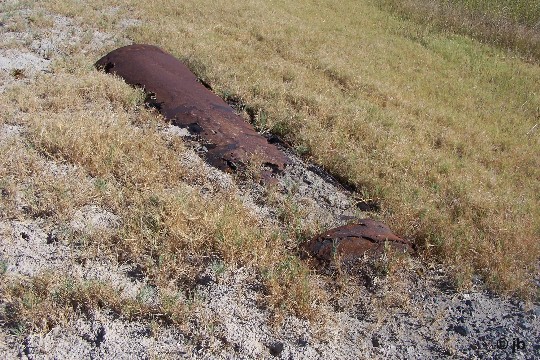
RivitedPipe |
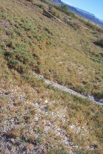
Timbers |
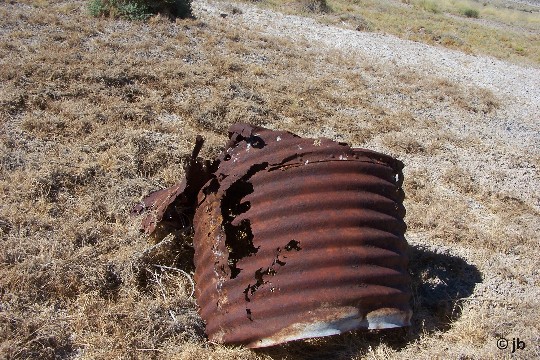
CorigatedPipe |
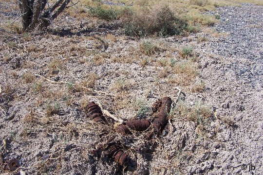
SuspensionDampers |
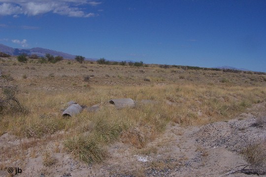
ConcretePipe |
| If so why is there a much newer road to the reservoir that went strait in, and why is there so many other bridging attempts to cross the Carson, most of which are headed for Winters Ranch? | |
|
| History tells us that Winters was Lee's neighbor.[3]
|
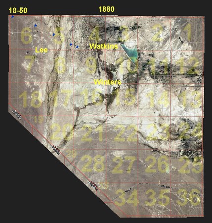 |
Certainly the road seems to agree that this Ranch was next door to Winters.
|
| But it is the 1880 Census[4] that deepens that relationship, although seemingly putting the Watkins Ranch between them, until we consider the Documents[5] that piece this together to show the Ranch between was on the other side of the road. Lee's themself only have one entry in the Property Tax Records, hard to read, but it agrees with known history in that the Lees moved here in 1874. An old 1889 Rail Road Map[6] by George F. Cram, 1889, was yet another clue, mapping Township and Range of what they labels as Lee Springs, although we know the 3 springs here belonged to each of the 3 ranches: Lee Springs got lost in history, but Watkins became Crystal Spring, and Winters became Horseshoe Spring. |


